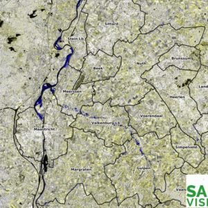
As radar is not obstructed by clouds, it is well capable of near real time monitoring of floods, such as the current floods in Zuid Limburg in the Netherlands. Attached a multi temporal radar image of the floods in Limburg that shows the floods of 15 July 2021 in a blue colour (compared to situation...
Author: sarmaster
Article: Near-Real-Time monitoring of Tropical Forest degradation and deforestation
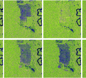
The article “Wide-Area Near-Real-Time Monitoring of Tropical Forest Degradation and Deforestation Using Sentinel-1” has been published in Remote Sensing as part of the Special Issue Advances in Remote Sensing for Global Forest Monitoring. First author is Dirk Hoekman, senior radar specialist at SarVision, and one of the founders. The article is available online at: https://www.mdpi.com/2072-4292/12/19/3263
SarVision and WWF
SarVision helps WWF with monitoring the deforestation of the rainforests.We process satellite images to track the changes in the rainforests in Indonesia, Surinam and Guiana. The Congo Basin and the rest of Asia and the Amazon are next.With every orbit of the satellite we track changes in forests, plantations, other vegetation and land usage, thus assisting the...


